Forestry Mulching in Wells, Maine
Field, lot and trail clearing from Wells Beach and Moody Beach to the Tatnic Hills, planned around dune and shoreland rules.
Clearing Land in Wells
Maine's Natural Areas Program calls the Wells and Ogunquit Marsh the second largest salt marsh complex in the state. The Wells Reserve at Laudholm protects 2,250 acres of marsh, beach, dune, forest and field, including 1,428 acres of Rachel Carson National Wildlife Refuge land, and takes in the estuaries of the Little, Webhannet and Ogunquit rivers. Wells Beach, Drakes Island and Moody Beach face the ocean. Inland, Ell Pond straddles the Sanford line, and the Tatnic Hills are part of the state's Mount Agamenticus focus area, one of the largest stretches of undeveloped forest left in coastal New England.
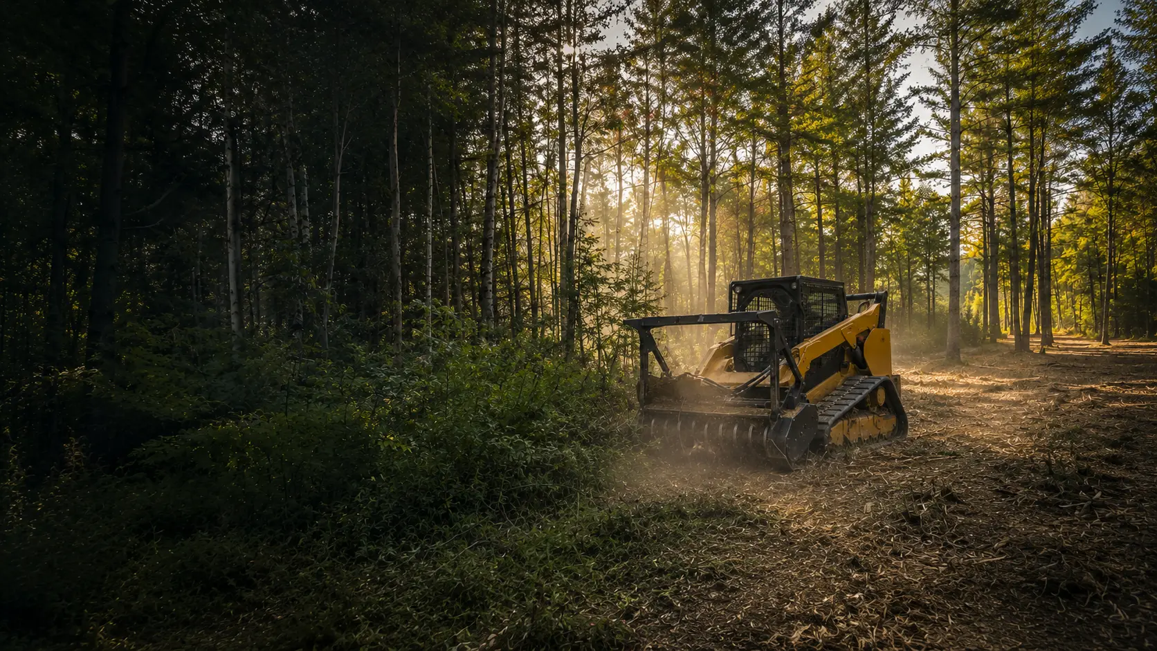
Back from the marsh, good fits for forestry mulching include a field that has grown up in brush, a wooded lot that needs opening before a build, and trails through the woods. A single machine grinds brush and small trees where they stand and leaves the chips as ground cover, so there are no brush piles left to burn or haul.
The Rules Where You Live
Wells puts its shoreland rules in a Shoreland Overlay District within its Land Use ordinance, Chapter 145. Under state law, the shoreland zone reaches at least 250 feet from great ponds, rivers, the ocean and the upland edge of coastal and freshwater wetlands, and 75 feet from streams.
Inside the overlay, Wells keeps a vegetation buffer 100 feet deep along Ell Pond and 75 feet deep along other water bodies, tributary streams and wetlands. What that means on the ground:
- Inside the buffer, no cleared opening in the forest canopy larger than 250 square feet.
- No more than 40% of the volume of trees 4 inches or more in diameter removed from the buffer in any ten-year period.
- Along Ell Pond, plants under three feet tall and other ground cover stay, except for a footpath or other permitted uses.
- Old fields that have grown back to shrubs and trees fall under the same overlay rules.
Sand dunes
Wells Beach, Drakes Island, Moody Beach and Moody Point are on the Maine Geological Survey's coastal sand dune maps. Maine DEP says removing vegetation in a coastal sand dune system needs a DEP permit and generally isn't allowed.
Before any work near the water, the marsh or the dunes, we confirm with the town what applies to your lot, including whether a permit is needed. This is general information, not legal advice.
Who to Call in Wells
- Town of Wells(opens in a new tab)
Ask for Code Enforcement about shoreland, zoning and permits
wellstown.org
- Wells Land Use Ordinance, § 145-33(opens in a new tab)
The Shoreland Overlay District and its clearing rules
ecode360.com
- Maine Geological Survey dune maps(opens in a new tab)
Wells Beach, Drakes Island and Moody Beach
maine.gov
Wells Questions
Our house is near Wells Beach, Drakes Island or Moody Beach. Is lot clearing allowed?
Possibly, depending on where the lot sits. All three beaches are on the state's coastal sand dune maps, and inside a dune system Maine DEP requires its permit for vegetation removal and generally doesn't allow it. Back from the mapped dunes, brush and lot clearing is often possible once the town confirms what applies. We'll look at the dune map for your lot with you before we quote.
We're on Ell Pond. How much can we cut near the water?
Wells keeps a 100-foot vegetation buffer along Ell Pond. Inside it, canopy openings can't be larger than 250 square feet, no more than 40% of the volume of trees 4 inches and up can come out in any ten years, and plants under three feet tall stay. Selective thinning within those limits is the way to do it, after a call to the Code Enforcement Office.
Can you reclaim an old field that has grown in?
Yes, that's a good job for a forestry mulcher. Saplings, brush and brambles are chewed down to ground level and the chips stay on the field, so it can be mowed again. One Wells detail: inside the Shoreland Overlay District, grown-in fields fall under the same clearing rules as woods, so check with the town first if yours is near water.
How We Work
- One machine, no hauling. The mulcher grinds brush and small trees into mulch that stays on site as ground cover.
- Erosion control planned in. Near water and on slopes, we plan around Maine's erosion and sedimentation control practices and confirm the local rules before work begins.
- A remote-controlled mulcher for steep slopes and sensitive spots, so the operator can work from a distance.
Wells Forestry Mulching Pricing
Most residential Wells projects fall between $2,000 and $3,000. Every lot is different, so the final cost comes down to how much you're clearing, the type of growth, the slope, and how close the work is to your house or the water.
Lighter jobs run less, bigger or tougher ones run more. Quotes are always free with no hidden fees, and you'll have the exact number before we start.
Neighboring Towns We Serve
See all the towns we serveSources
Rules last checked October 2026.
- Wells Land Use, § 145-33 Shoreland Overlay District (opens in a new tab)
- Wells Land Use, § 145-33E clearing of vegetation (opens in a new tab)
- Maine shoreland zoning statute, 38 M.R.S. §435 (opens in a new tab)
- Maine DEP coastal sand dune fact sheet (opens in a new tab)
- MGS dune map, Wells Beach North (2026) (opens in a new tab)
- MGS dune map, Drakes Island Beach South (2026) (opens in a new tab)
- Wells Reserve at Laudholm, These 2,250 Acres (opens in a new tab)
- Maine Natural Areas Program, Wells and Ogunquit Marsh (opens in a new tab)
- Maine Natural Areas Program, Mt. Agamenticus focus area (opens in a new tab)
- Maine IF&W lake survey map, Ell Pond (opens in a new tab)
Ready to Reclaim Your Wells Property?
Get your free quote today. No obligation, no pressure. Just honest pricing and professional service.
Get Your Free Quote Today
Tell us about your property and we'll provide a free, no-obligation quote within 24 hours. Most residential projects are completed in a single day.

Ready to Clear Your Southern Maine Property?
Stop letting brush and overgrowth steal your land. Get a free, no-obligation quote and see what your property could look like tomorrow.