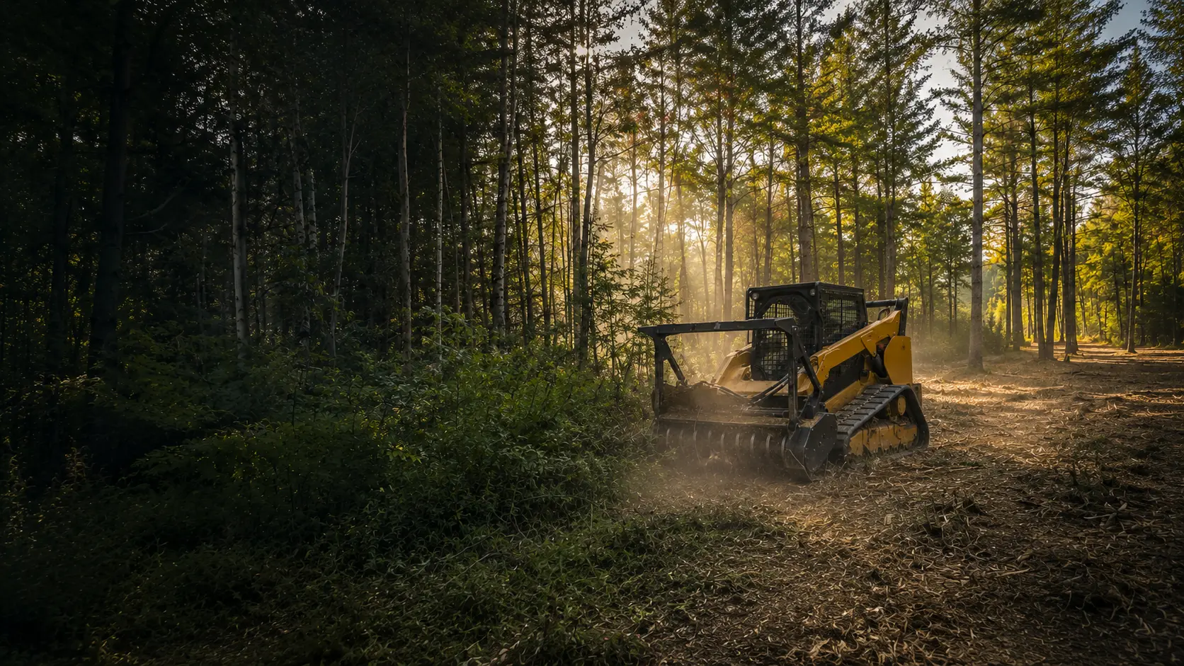
Forestry Mulching in Ogunquit, Maine
Brush and lot clearing from Perkins Cove and the Marginal Way to Ogunquit Beach, planned around dune and shoreland rules.
Clearing Land in Ogunquit
The Marginal Way, a pedestrian walkway, follows the Atlantic north from Perkins Cove. Ogunquit Beach and Oarweed Cove are on the state's coastal sand dune maps, and the beach's north end carries on into Wells. The Wells and Ogunquit Marsh, which Maine's Natural Areas Program calls the second largest salt marsh complex in the state, gives its name to a state focus area that runs north from the south end of Ogunquit Beach. Two rivers run through town, the Ogunquit and the Josias, and the town treats their tidal stretches as coastal wetland.
Here, forestry mulching fits a yard crowded by brush, an overgrown lot that needs opening before a build, and careful thinning near the water within the town's limits. The machine turns brush and small trees into chips where they grew, and the chips stay as ground cover.
The Rules Where You Live
Ogunquit's shoreland zones cover land within 250 feet of the Ogunquit and Josias rivers and of the upland edge of coastal wetlands (including all areas affected by tidal action) and freshwater wetlands, plus land within 75 feet of streams. The main limits:
- A 75-foot buffer strip of vegetation along any water body, tributary stream or wetland, with no canopy opening over 250 square feet.
- Inside the buffer, no more than 40% of the volume of trees 4 inches and up removed in any ten years, and plants under three feet, leaf litter and the forest duff layer stay.
- Outside the General Development districts, cleared areas on the shoreland part of a lot (house, driveway, lawn and septic area included) can't top 25% of that area or 10,000 square feet, whichever is greater.
Sand dunes
Ogunquit Beach (all three of its mapped sections) and Oarweed Cove are on the Maine Geological Survey's coastal sand dune maps. In a mapped dune system, Maine DEP requires its own permit to remove vegetation and says such removal is generally not allowed.
Resource Protection
Ogunquit's Resource Protection District can include FEMA 100-year floodplains along rivers, two or more acres of slopes at 20% or steeper, steep coastal bluffs and significant wildlife habitat. Clearing there is limited to what the district's allowed uses need, plus removing hazard, storm-damaged and dead trees.
Before any work near water or dunes, we confirm with Ogunquit's Code Enforcement Officer what applies to your lot. This is general information, not legal advice.
Who to Call in Ogunquit
- Town of Ogunquit(opens in a new tab)
Ask for Code Enforcement about shoreland, zoning and hazard trees
ogunquit.gov
- Ogunquit Zoning, § 225-9.15(opens in a new tab)
Shoreland Zone standards, including clearing and hazard trees
ecode360.com
- Maine Geological Survey dune maps(opens in a new tab)
Ogunquit Beach and Oarweed Cove
maine.gov
Ogunquit Questions
A tree near the water looks ready to fall. Do I need a permit to take it down?
Not always. Ogunquit's code says hazard trees in the Shoreland Zone may be removed without a permit after consultation with the Code Enforcement Officer, if certain requirements are met. If that leaves a canopy gap over 250 square feet in the buffer, native trees must be replanted unless new growth is there, and the officer may ask for a licensed forester's or arborist's evaluation. Call the officer first.
Our cottage is near Ogunquit Beach. Can you clear brush on the lot?
It comes down to where your lot is. Ogunquit Beach is on the state's coastal sand dune maps, and DEP's position is that vegetation removal in a dune system needs a DEP permit and generally isn't allowed. Outside the mapped dunes, brush work may be possible once the town confirms what applies. Before we quote, we'll go over the dune map with you.
We're on the Ogunquit River. How much can we thin for a view?
Only within the town's limits. Inside the 75-foot buffer, Ogunquit allows one footpath up to six feet wide as long as it doesn't create a cleared line of sight to the water, no canopy opening over 250 square feet, and no more than 40% of the tree volume removed in ten years. Selective thinning inside those rules is how it's done. We don't clear-cut shorelines.
How We Work
- One machine, no hauling. The mulcher grinds brush and small trees into mulch that stays on site as ground cover.
- Erosion control planned in. Near water and on slopes, we plan around Maine's erosion and sedimentation control practices and confirm the local rules before work begins.
- A remote-controlled mulcher for steep slopes and sensitive spots, so the operator can work from a distance.
Ogunquit Forestry Mulching Pricing
Most residential Ogunquit projects fall between $2,000 and $3,000. Every lot is different, so the final cost comes down to how much you're clearing, the type of growth, the slope, and how close the work is to your house or the water.
Lighter jobs run less, bigger or tougher ones run more. Quotes are always free with no hidden fees, and you'll have the exact number before we start.
Sources
Rules last checked October 2026.
- Ogunquit Zoning, § 225-9.15 Shoreland Zone standards (opens in a new tab)
- Ogunquit Zoning, § 225-1.3 district boundaries (Shoreland Zones, Resource Protection) (opens in a new tab)
- Ogunquit Zoning, § 225-2.2 definitions (river, shoreland zone) (opens in a new tab)
- Ogunquit Code, § 147-22 definition of the Marginal Way (opens in a new tab)
- Maine DEP coastal sand dune fact sheet (opens in a new tab)
- MGS dune map, Ogunquit Beach South (2026) (opens in a new tab)
- MGS dune map, Ogunquit Beach Central (2026) (opens in a new tab)
- MGS dune map, Ogunquit Beach North, Ogunquit and Wells (2026) (opens in a new tab)
- MGS dune map, Oarweed Cove (2026) (opens in a new tab)
- Maine Natural Areas Program, Wells and Ogunquit Marsh (opens in a new tab)
Ready to Reclaim Your Ogunquit Property?
Get your free quote today. No obligation, no pressure. Just honest pricing and professional service.
Get Your Free Quote Today
Tell us about your property and we'll provide a free, no-obligation quote within 24 hours. Most residential projects are completed in a single day.

Ready to Clear Your Southern Maine Property?
Stop letting brush and overgrowth steal your land. Get a free, no-obligation quote and see what your property could look like tomorrow.