Forestry Mulching in Gorham, Maine
From Gorham Village and Little Falls to White Rock and South Gorham: field, lot and trail clearing, planned around the town's shoreland rules.
Clearing Land in Gorham
Gorham mixes village streets with open farmland. The town's code names Gorham Village and Little Falls as village centers and has zoning districts for White Rock and South Gorham. It also notes that Gorham contains large amounts of land in farming or with soils suited to it. There's water, too. The Little River and the Presumpscot River border the area around Gray Road, Libby Avenue and Queen Street. North Gorham Pond, 94 acres, touches Gorham, Standish and Windham.
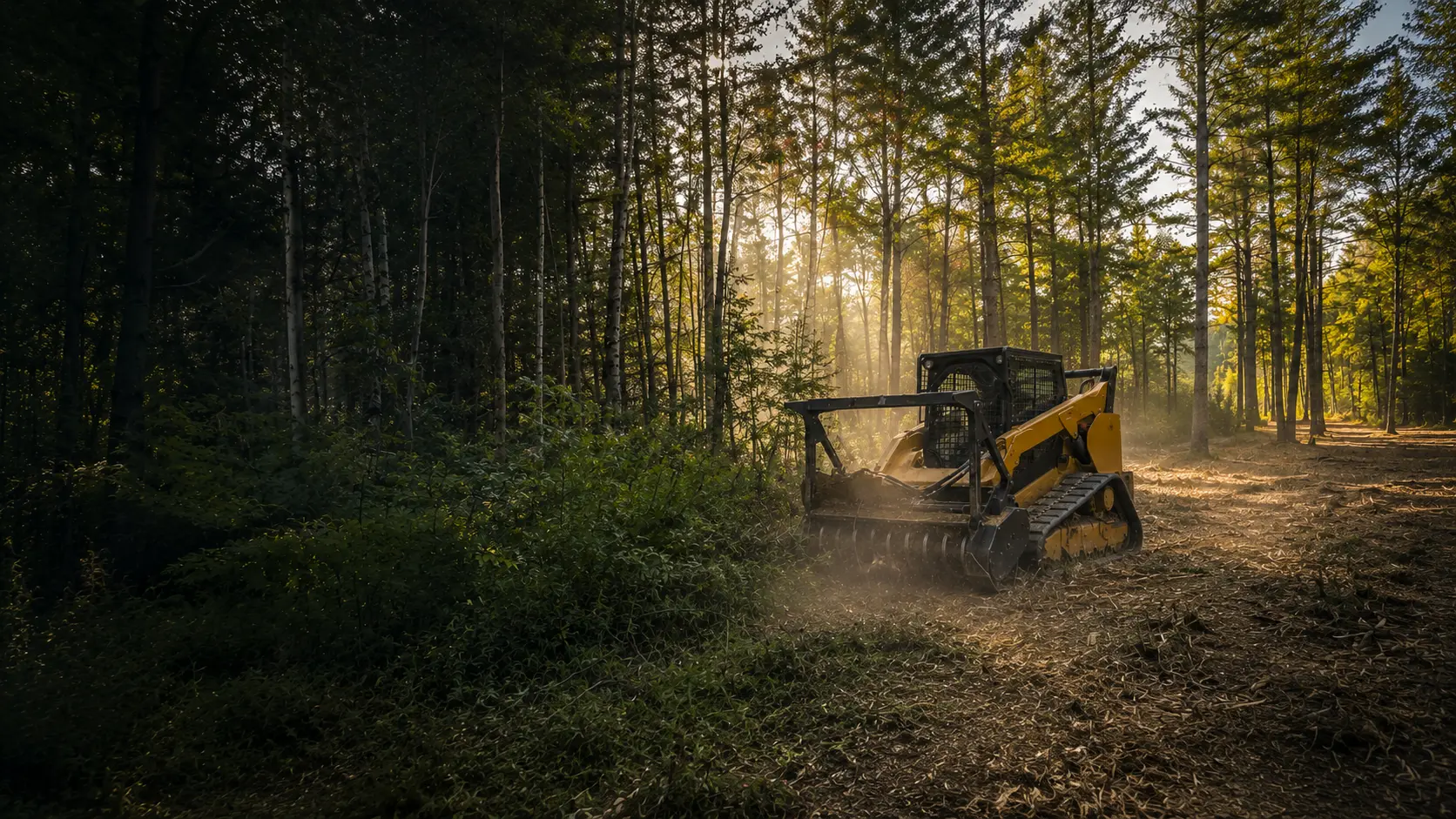
On land like this, forestry mulching fits jobs such as pushing saplings back off a field edge, cleaning up an overgrown fence line or hedgerow, opening a house lot before a build, or cutting a trail to the back acres. The mulcher grinds brush and small trees where they stand and leaves the chips as ground cover, so there's no burn pile and nothing to truck away.
The Rules Where You Live
Gorham's shoreland rules sit in its Land Use and Development Code as a Shoreland Overlay District. It covers land within 250 feet of great ponds, rivers and freshwater wetlands, and within 75 feet of streams. The code requires shoreland zoning approval, from the Planning Board or the Code Enforcement Officer, before any activity it regulates in the district. The clearing standards:
- Vegetation is kept as a buffer 100 feet deep along great ponds and the rivers feeding them, and 75 feet deep along other waters, tributary streams and wetlands.
- In the buffer, canopy gaps can't exceed 250 square feet, and cutting can't remove more than 40% of the volume of trees 4 inches or more across in any 10 years.
- Plants under three feet tall, leaf litter and the forest floor stay, except for a footpath or another permitted use.
- On the shoreland part of a lot, cleared openings (buildings, driveway, lawn and septic area included) can't total more than 25% of that area or 10,000 square feet, whichever is greater.
Resource Protection and Stream Protection
Gorham's overlay includes Resource Protection and Stream Protection subdistricts. In a Resource Protection subdistrict beside a great pond, no vegetation may be cut within 75 feet of the water except to remove hazard trees. Elsewhere in Resource Protection, cutting is limited to what's necessary for uses the subdistrict expressly allows.
We check your lot with Gorham's Code Division before any work near the water. This is general information, not legal advice.
Who to Call in Gorham
- Gorham Code Division(opens in a new tab)
75 South Street, Suite 1
gorhammaine.gov
- Gorham Land Use and Development Code, § 300-2.5(opens in a new tab)
Shoreland area protection and clearing standards
ecode360.com
- Maine DEP Shoreland Zoning(opens in a new tab)
How the state program works. Towns enforce it locally.
maine.gov
Gorham Questions
Do I need approval to clear near the Presumpscot River?
Plan on checking first. Land within 250 feet of a river is in Gorham's Shoreland Overlay District, and the code says activities it regulates there need shoreland zoning approval beforehand, from the Planning Board or the Code Enforcement Officer. The Code Division at 75 South Street can tell you what your lot needs. Inside the riverside buffer, the canopy and tree-volume limits above apply, except on Resource Protection land, where cutting is held to what's necessary for uses that subdistrict expressly allows.
My lot is on North Gorham Pond. Whose rules apply?
That depends on which side of the pond you're on. North Gorham Pond is a 94-acre pond that touches Gorham, Standish and Windham, and Maine's shoreland rules are enforced by each town through its own ordinance. On the Gorham side, the Shoreland Overlay rules on this page apply. Elsewhere, start with that town's code office. We confirm the rules for your side before we quote.
Is forestry mulching a good fit for overgrown farmland?
Often, yes. Gorham's code points out how much of the town is farmed or has soils suited to farming, and fields left alone fill in with saplings and brush. A mulcher grinds that growth down where it stands and leaves a mulch layer instead of slash piles, so the ground is easier to mow or replant. Where a field runs down to a stream, river or wetland, the shoreland limits still apply.
How We Work
- One machine, no hauling. The mulcher grinds brush and small trees into mulch that stays on site as ground cover.
- Erosion control planned in. Near water and on slopes, we plan around Maine's erosion and sedimentation control practices and confirm the local rules before work begins.
- A remote-controlled mulcher for steep slopes and sensitive spots, so the operator can work from a distance.
Gorham Forestry Mulching Pricing
Most residential Gorham projects fall between $2,000 and $3,000. Every lot is different, so the final cost comes down to how much you're clearing, the type of growth, the slope, and how close the work is to your house or the water.
Lighter jobs run less, bigger or tougher ones run more. Quotes are always free with no hidden fees, and you'll have the exact number before we start.
Sources
Rules last checked October 2026.
- Gorham Land Use and Development Code, §300-2.5 Shoreland area protection (opens in a new tab)
- Gorham Land Use and Development Code, Chapter 2 (town PDF, revised July 2025) (opens in a new tab)
- Gorham Zoning Regulations, district list (opens in a new tab)
- Gorham §300-1.41, Rural District (opens in a new tab)
- Gorham Village Centers District (opens in a new tab)
- Gorham Land Use and Development Code (town PDF, July 2024), zoning map amendments (opens in a new tab)
- Lakes of Maine, North Gorham Pond (opens in a new tab)
- Gorham Code Division (opens in a new tab)
- Maine DEP Shoreland Zoning (opens in a new tab)
Ready to Reclaim Your Gorham Property?
Get your free quote today. No obligation, no pressure. Just honest pricing and professional service.
Get Your Free Quote Today
Tell us about your property and we'll provide a free, no-obligation quote within 24 hours. Most residential projects are completed in a single day.

Ready to Clear Your Southern Maine Property?
Stop letting brush and overgrowth steal your land. Get a free, no-obligation quote and see what your property could look like tomorrow.