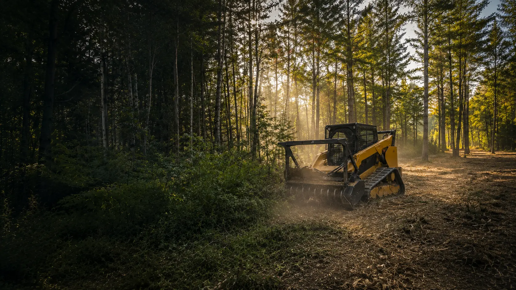
Forestry Mulching in South Berwick, Maine
Field, lot and trail clearing along the Salmon Falls and Great Works rivers, planned around South Berwick's own shoreland rules.
Clearing Land in South Berwick
South Berwick is a two-river town. Hamilton House overlooks the Salmon Falls River, and the woods beside it, Vaughan Woods, are a state park. The Great Works River winds through town, and the town's shoreland ordinance names more than a dozen brooks along with Knights Pond, Warren Pond and Leigh's Mill Pond. Straddling the Wells line, the Great Works Regional Land Trust's 213-acre Orris Falls Conservation Area takes in a 90-foot gorge.
The town's comprehensive plan talks about embracing its rural character. On land like this, the jobs that fit forestry mulching include reclaiming a grown-in field, opening a wooded lot before a build, and cutting woods trails. One machine cuts and grinds, and the mulch stays on the ground to hold the soil.
The Rules Where You Live
South Berwick's shoreland rules are in Chapter 110 of the town code. The zone runs 250 feet from the rivers, the listed ponds, major freshwater and coastal wetlands, and each named brook, wider than the 75-foot state minimum for streams. Permit needs depend on the district, so the Code Enforcement Officer is the first call.
The clearing numbers:
- Within 100 feet of any water body, tributary stream or wetland edge, a buffer strip stays: no canopy opening over 250 square feet, and any footpath no wider than six feet, with no line of sight to the water.
- In that strip, ground cover under three feet, leaf litter and duff can't be cut, covered or removed, except for a footpath or other permitted uses.
- Anywhere in the shoreland zone, no more than 40% of the volume of trees 4 inches and up can be cut in any ten years.
- Outside the business districts, cleared openings, counting land already cleared, can't exceed 25% of the lot area in the shoreland zone or 10,000 square feet, whichever is greater.
Resource Protection
Land within 250 feet of Knights Pond, Warren Pond, Leigh's Mill Pond and the Salmon Falls River to its tidal limits is Resource Protection, as are Vaughan Woods, The Gorge, The Balancing Rock and the Spring Hill Overlook. Where the district abuts a great pond, nothing within 100 feet of the water can be cut except to remove safety hazards. Elsewhere in the district, cutting is limited to what its allowed uses need.
Steep ground
Two or more contiguous acres of sustained slopes of 20% or more inside a Shoreland and Slope District also count as Resource Protection, which matters for hillside clearing near a brook or river.
Before work near the rivers, ponds, brooks or wetlands, we confirm with the town what applies to your land. This is general information, not legal advice.
Who to Call in South Berwick
- South Berwick Code Enforcement(opens in a new tab)
180 Main Street, second floor of Town Hall, 207-384-3301
southberwickmaine.org
- South Berwick Shoreland Zoning, Chapter 110(opens in a new tab)
District boundaries (§ 110-18) and clearing rules (§ 110-24)
ecode360.com
- Official Shoreland Zoning Map(opens in a new tab)
Where the Resource Protection and shoreland districts fall
southberwickmaine.org
South Berwick Questions
My land is on a brook, not a river. Do the shoreland rules apply?
If it's one of the brooks the town lists, yes. The shoreland zone runs 250 feet from brooks such as Dennett Brook, Shorey's Brook and Hilton Brook, and the 100-foot buffer rules apply nearest the water. The town's Official Shoreland Zoning Map shows where the districts fall, and we confirm with the town what applies before any cutting.
Can you reclaim an old field that has grown back in?
It's a good fit for forestry mulching. In the shoreland zone, though, South Berwick regulates a field that has reverted mostly to shrubs and trees under the same clearing rules as a wooded lot, so the buffer, the 40% limit and the 25% cap described above all apply. Away from the water, the job is simpler.
My land is steep and near the Great Works River. Is that a problem?
It can be. The river's shoreland zone runs 250 feet, and steep stretches inside a Shoreland and Slope District can count as Resource Protection, where cutting is limited. Our remote-controlled mulcher keeps the operator at a distance on steep ground, but the rules decide what can be cut, so start with the Code Enforcement Officer.
How We Work
- One machine, no hauling. The mulcher grinds brush and small trees into mulch that stays on site as ground cover.
- Erosion control planned in. Near water and on slopes, we plan around Maine's erosion and sedimentation control practices and confirm the local rules before work begins.
- A remote-controlled mulcher for steep slopes and sensitive spots, so the operator can work from a distance.
South Berwick Forestry Mulching Pricing
Most residential South Berwick projects fall between $2,000 and $3,000. Every lot is different, so the final cost comes down to how much you're clearing, the type of growth, the slope, and how close the work is to your house or the water.
Lighter jobs run less, bigger or tougher ones run more. Quotes are always free with no hidden fees, and you'll have the exact number before we start.
Sources
Rules last checked October 2026.
- South Berwick Shoreland Zoning, Chapter 110 (opens in a new tab)
- § 110-17 and § 110-18, overlay zones and district boundaries (opens in a new tab)
- Article V, shoreland standards (§ 110-19.1 and § 110-24) (opens in a new tab)
- Article VI, administration and permits (opens in a new tab)
- South Berwick Code Enforcement (opens in a new tab)
- South Berwick Official Shoreland Zoning Map (rev. April 2015) (opens in a new tab)
- 2026 South Berwick Comprehensive Plan Update (opens in a new tab)
- Historic New England, Hamilton House (opens in a new tab)
- Great Works Regional Land Trust, Orris Falls Conservation Area (opens in a new tab)
- Maine shoreland zoning statute, 38 M.R.S. §435 (opens in a new tab)
Ready to Reclaim Your South Berwick Property?
Get your free quote today. No obligation, no pressure. Just honest pricing and professional service.
Get Your Free Quote Today
Tell us about your property and we'll provide a free, no-obligation quote within 24 hours. Most residential projects are completed in a single day.

Ready to Clear Your Southern Maine Property?
Stop letting brush and overgrowth steal your land. Get a free, no-obligation quote and see what your property could look like tomorrow.