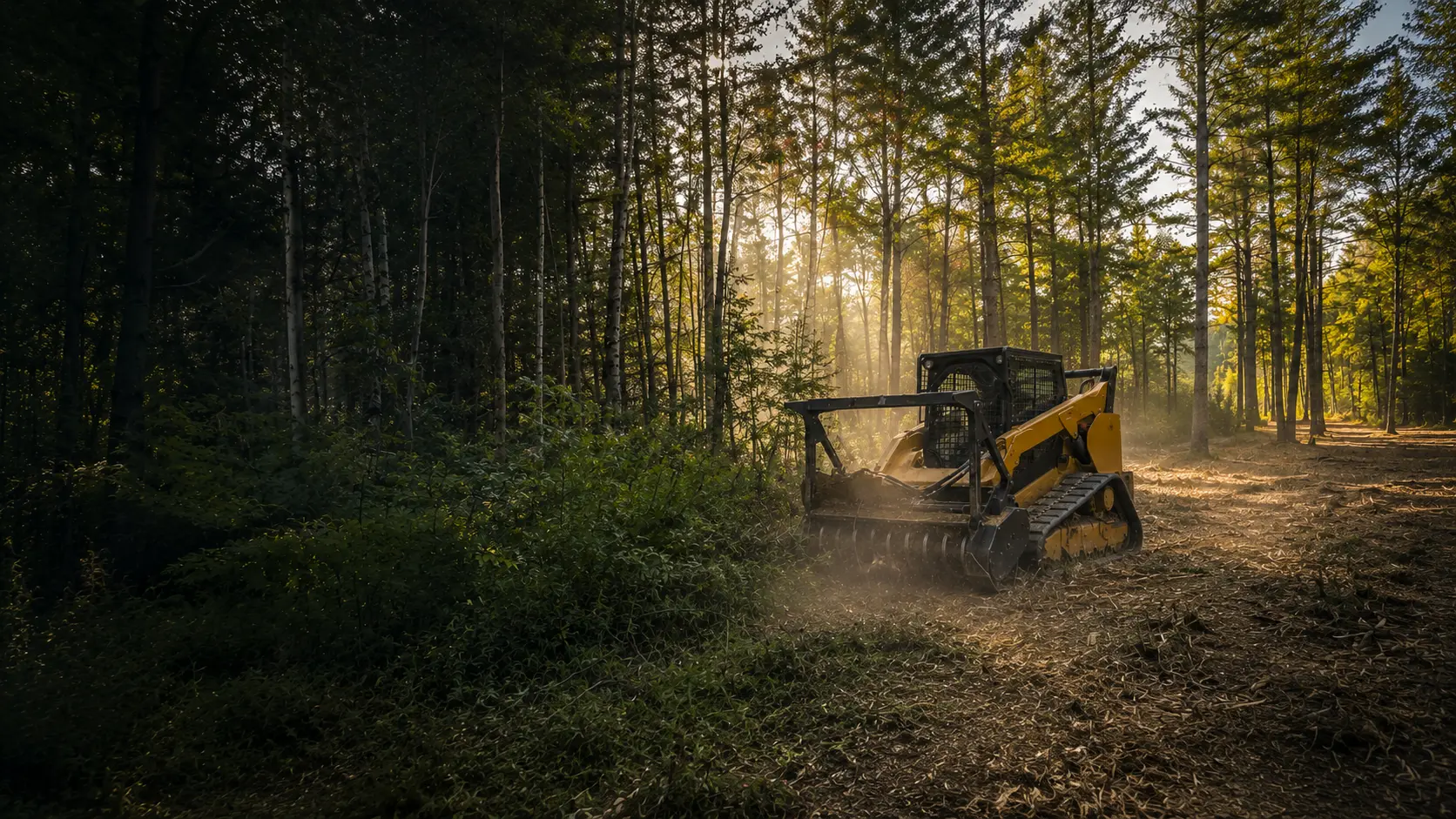
Forestry Mulching in Waterboro, Maine
Lot, trail and lakefront clearing from Little Ossipee Lake to Ossipee Mountain, planned around Waterboro's shoreland and river corridor rules.
Clearing Land in Waterboro
Waterboro's comprehensive plan names four village areas: North Waterboro, Waterboro Center, East Waterboro and South Waterboro. Little Ossipee Lake covers 557 acres, and Lake Arrowhead is a reservoir made by damming the Little Ossipee River. Ossipee Mountain is the town's high point at 1,058 feet, with a fire tower on the National Historic Lookout Register. The Nature Conservancy's Waterboro Barrens Preserve covers 2,475 acres in Waterboro and Shapleigh. Its forests are mostly pitch pine and scrub oak, on sandy soil up to 90 feet deep.
Lakeshore, woods and sandy barrens make for a range of jobs that fit forestry mulching: thinning brush and understory on a lake lot, opening up a wooded house lot, and cutting trails through the pines. One machine turns brush and small trees into mulch where they stand, and the mulch stays as ground cover, which helps hold sandy soil in place.
The Rules Where You Live
Waterboro has its own Shoreland Zoning Ordinance, and its shoreland zoning map (effective December 22, 2016) shows the districts, including the Saco River Corridor Commission district. Statewide, the shoreland zone reaches 250 feet from great ponds, rivers and wetlands and 75 feet from streams.
Maine sets the floor for clearing in that zone, and Waterboro's own rules can be stricter. At a minimum:
- A strip of trees and other vegetation is kept along the water, generally 75 feet deep and 100 feet along great ponds and rivers that flow into them.
- In that strip, no opening in the canopy can be larger than 250 square feet, and low growth under three feet isn't removed.
- Close to the water, cutting is limited to 40% of the volume of trees 4 inches and up in any ten-year period.
- Outside the strip, all clearing together is capped at 25% of the lot area or 10,000 square feet, whichever is greater.
Little Ossipee River corridor
Waterboro is in the Saco River Corridor Commission (SRCC), and state law runs the corridor along the Little Ossipee River. It covers land within 500 feet of the river, or out to the 100-year floodplain up to 1,000 feet. Near the water the SRCC keeps a 75-foot no-cut zone, never allows cutting trees for a view, and allows a six-foot-wide, natural, meandering path by permit. In most cases, the SRCC permit should come first, because its standards tend to be stricter than other agencies'.
Before work near a lake, a stream or the Little Ossipee River, we confirm with the town, and the SRCC where it applies, what's allowed on your lot. This is general information, not legal advice.
Who to Call in Waterboro
- Waterboro Code Enforcement(opens in a new tab)
24 Townhouse Road, East Waterboro
waterboro-me.gov
- Waterboro ordinances and maps(opens in a new tab)
The Shoreland Zoning Ordinance and shoreland zoning map
waterboro-me.net
- Saco River Corridor Commission(opens in a new tab)
Land near the Little Ossipee River, 207-625-8123
srcc-maine.org
- Maine DEP, clearing in the shoreland zone(opens in a new tab)
The state's minimum standards
maine.gov
Waterboro Questions
Can you clear my land along the Little Ossipee River?
Not right at the bank. The SRCC corridor reaches at least 500 feet back from the Little Ossipee River, with no cutting within 75 feet of the shoreline and no cutting trees for a view anywhere in it. What's possible farther back depends on your lot and the SRCC's permit, so call them at 207-625-8123 before planning anything.
I'm on Little Ossipee Lake. How much can I thin near the water?
Within limits, and the town has the final say. Maine's minimums keep a 100-foot buffer along great ponds, where a stand of trees has to remain and canopy openings top out at 250 square feet. Waterboro's ordinance can be stricter, so call the Code Enforcement Office first. We don't clear-cut shorelines.
My lot is pitch pine and scrub oak on sand. Is it a good fit?
Usually, yes. It's the same mix The Nature Conservancy protects at the Waterboro Barrens. Scrub oak thickets and brush grind down well, and the mulch stays on top of the sand as cover. If your lot is in the shoreland zone or the river corridor, those rules come first.
How We Work
- One machine, no hauling. The mulcher grinds brush and small trees into mulch that stays on site as ground cover.
- Erosion control planned in. Near water and on slopes, we plan around Maine's erosion and sedimentation control practices and confirm the local rules before work begins.
- A remote-controlled mulcher for steep slopes and sensitive spots, so the operator can work from a distance.
Waterboro Forestry Mulching Pricing
Most residential Waterboro projects fall between $2,000 and $3,000. Every lot is different, so the final cost comes down to how much you're clearing, the type of growth, the slope, and how close the work is to your house or the water.
Lighter jobs run less, bigger or tougher ones run more. Quotes are always free with no hidden fees, and you'll have the exact number before we start.
Sources
Rules last checked October 2026.
- Town of Waterboro, Code Enforcement (opens in a new tab)
- Waterboro Shoreland Zoning Map, effective December 22, 2016 (opens in a new tab)
- Town of Waterboro, About Waterboro (opens in a new tab)
- Waterboro Comprehensive Plan, Village Planning (opens in a new tab)
- Lakes of Maine, Little Ossipee Lake (opens in a new tab)
- The Nature Conservancy, Waterboro Barrens Preserve (opens in a new tab)
- SRCC frequently asked questions (opens in a new tab)
- SRCC member towns (opens in a new tab)
- 38 M.R.S. §953, corridor rivers and width (opens in a new tab)
- Maine DEP, clearing vegetation in the shoreland zone (opens in a new tab)
Ready to Reclaim Your Waterboro Property?
Get your free quote today. No obligation, no pressure. Just honest pricing and professional service.
Get Your Free Quote Today
Tell us about your property and we'll provide a free, no-obligation quote within 24 hours. Most residential projects are completed in a single day.

Ready to Clear Your Southern Maine Property?
Stop letting brush and overgrowth steal your land. Get a free, no-obligation quote and see what your property could look like tomorrow.